Sea Shelf

£0.00 (0) Cart Checkout

Wishlist
Sea Shelf
  • Follow us on Facebook
  • Read our Blog
  • ADMIRALTY CHART DELIVERY
    Across the UK
  • WORLDWIDE SHIPPING
    Service available
  • SAILING & NAVIGATION EXPERTS
    Over 25 years experience
  • NOT QUITE RIGHT?
    14 day money back guarantee
  1. Home
  2. Paper Charts
  3. Admiralty Standard Charts
  4. Pacific

Pacific

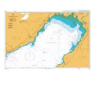
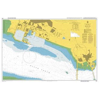
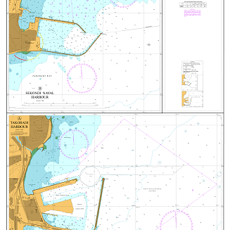
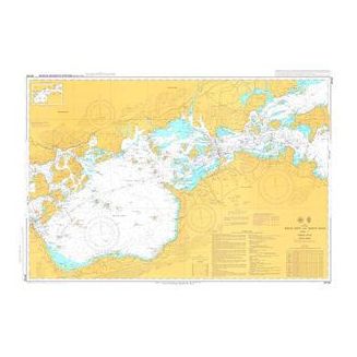
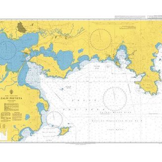
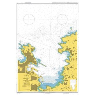
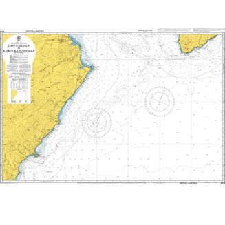
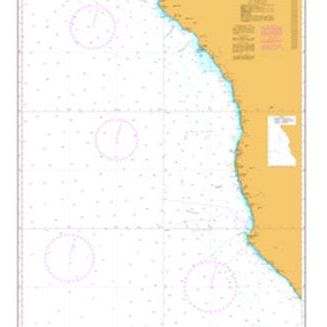
Featuring South Pacific routeing, charts on the East Coast of Australia, New Zealand and more. Our wide array of Pacific Ocean admiralty charts are perfect for anyone looking to get to grips with the geography of the largest and deepest ocean in the world.

Please note: While most charts measure 107 cm x 71.5 cm, sizes may vary. We recommend waiting until you receive your chart before arranging for any framing.

Show descriptionHide description
Products in this category 4.9/5
Rated by 12 customers
Folio 52 Yellow Sea & Gulf of Pothai etc.Folio 52 Yellow Sea & Gulf of Pothai etc.
Folio 52 Yellow Sea & Gulf of Pothai, etc.Folio 52 Yellow Sea & Gulf of Pothai, etc.
Folio 53 Western & Southern Coasts of JapanFolio 53 Western & Southern Coasts of Japan
Folio 54 Inland Sea of JapanFolio 54 Inland Sea of Japan
Folio 55 Northern Honshu & HokkaidoFolio 55 Northern Honshu & Hokkaido
Folio 56 Korean Gulf, Siberia, Sakhalin & KurilFolio 56 Korean Gulf, Siberia, Sakhalin & Kuril
Folio 57 North West Pacific OceanFolio 57 North West Pacific Ocean
Folio 58 East Sulawesi to West New GuineaFolio 58 East Sulawesi to West New Guinea
Folio 60 Java to the Arafura SeaFolio 60 Java to the Arafura Sea
Folio 63 North West Coast of AustraliaFolio 63 North West Coast of Australia
Folio 64 South West Coast of AustraliaFolio 64 South West Coast of Australia
Folio 65 S.E. Coast of Australia and TasmaniaFolio 65 S.E. Coast of Australia and Tasmania
Folio 66 East Coast of AustraliaFolio 66 East Coast of Australia
Folio 67 East New Guinea & Bismark ArchipelagoFolio 67 East New Guinea & Bismark Archipelago
Folio 68 New Caledonia, New Hebrides, S.Cruz etcFolio 68 New Caledonia, New Hebrides, S.Cruz etc
Folio 70 Fiji, Tonga, Samoa & Ellice IslandsFolio 70 Fiji, Tonga, Samoa & Ellice Islands
Folio 71 New Zealand, North Island & Cook StraitFolio 71 New Zealand, North Island & Cook Strait
Folio 72 New Zealand, South Island.Folio 72 New Zealand, South Island.
Folio 73 South Eastern Pacific OceanFolio 73 South Eastern Pacific Ocean
Folio 74 North Eastern Pacific OceanFolio 74 North Eastern Pacific Ocean
Folio 89 West Coast of Central America & U.S.A.Folio 89 West Coast of Central America & U.S.A.
Folio 90 W.Coast N.America, C.Medocino to V'couverFolio 90 W.Coast N.America, C.Medocino to V'couver
Folio 91 British ColumbiaFolio 91 British Columbia
Folio 92 Alaska & Bering StraitFolio 92 Alaska & Bering Strait
Folio 95 E.Coast South America C.Norte to B.AiresFolio 95 E.Coast South America C.Norte to B.Aires
Folio 96 E.Coast S.America, S.Part & FalklandsFolio 96 E.Coast S.America, S.Part & Falklands
Folio 97 Magellan Strait, C. Horn to AntarcticFolio 97 Magellan Strait, C. Horn to Antarctic
Folio 98 West Coast of South AmericaFolio 98 West Coast of South America
Folio 100 AntarcticaFolio 100 Antarctica
South Pacific Ocean Routeing ChartsSouth Pacific Ocean Routeing Charts
North Pacific Ocean Routeing ChartsNorth Pacific Ocean Routeing Charts
Shop by brand
  • Royal Yachting Association
  • Flip Cards
  • Fernhurst Books
  • Navionics
  • Admiralty
  • Reeds
  • Imray
  • Meridian Zero
Sea Shelf
  • 020 3354 5017
  • sales@seashelf.co.uk
  • Follow us on Facebook
  • Read our Blog

Address

  • Sea Shelf
    149 Stoke Newington Road
    London
    N16 8BP

Quick Links

    • Paper Charts
    • Pilots & Guides
    • Books
    • Commercial
    • Instruments
    • Electronic Charts
    • Gifts

Support

  • Testimonials
  • Delivery
  • Returns
  • Privacy Policy
  • Terms & Conditions
  • UKHO Downloads
  • Newsletter
  • About Us
association logos
Safe and secure payment with Paypal
Reviews
  • Paper Charts
    • Admiralty Standard Charts
      • Atlantic
      • British Isles
      • Caribbean
      • Northern Europe
      • Pacific
      • Mediterranean
      • Rest of the World
    • Reference and Plotting Charts
      • Gnomonic Charts
      • Instructional Charts
      • Magnetic Variation Charts
      • Mercator Plotting Sheets
      • World Reference Charts
      • The World - General Charts of the Oceans
      • Useful Chart Information
    • Admiralty Planning Charts
      • Maritime Security Charts
      • Routeing Guides
      • Territorial Sea Baseline Charts
      • Routeing Charts
      • World Planning Charts
    • Imray Charts
      • UK & Ireland & full C & Y list
      • France, Spain & North Sea
      • Mediterranean & Greek Waters
      • Atlantic & Caribbean
    • Admiralty Small Craft Charts
      • Admiralty 5600 The Solent Small Craft Charts
      • Admiralty 5601 East Devon & Dorset Small Craft Charts
      • Admiralty 5602 The West Country Small Craft Charts
      • Admiralty 5603 South & West Cornwall Small Craft Charts
      • Admiralty 5604 The Channel Islands Small Craft Charts
      • Admiralty 5605 Chichester to Ramsgate Small Craft Charts
      • Admiralty 5606 Thames Estuary Small Craft Charts
      • Admiralty 5607 Thames Estuary Small Craft Charts
      • Admiralty 5608 Bristol Channel Small Craft Charts
      • Admiralty 5609 North West Wales Small Craft Charts
      • Admiralty 5610 Firth of Clyde Small Craft Charts
      • Admiralty 5611 West Coast of Scotland Small Craft Charts
      • Admiralty 5612 Northern Ireland Small Craft Charts
      • Admiralty 5613 Irish Sea Small Craft Charts
      • Admiralty 5614 East Coast Small Craft Charts
      • Admiralty 5615 East Coast Small Craft Charts
      • Admiralty 5616 Scotland West Coast / Outer Hebrides Small Craft Charts
      • Admiralty 5617 East Coast Scotland Small Craft Charts
      • Admiralty 5620 South West Wales Small Craft Charts
      • Admiralty 5621 East Coast Ireland Small Craft Charts
      • Admiralty 5622 South Coast Ireland Small Craft Charts
      • Admiralty 5623 South West Coast Ireland Small Craft Charts
    • NV Charts
  • Pilots & Guides
    • UK & Ireland
      • East Coast of England
      • English Channel
      • Irish Sea & Ireland
      • Scotland
    • Northern Europe
      • Arctic Ocean & Baltic Sea
      • Channel Coast of France
      • Belgium, Netherlands & Germany
    • Atlantic Ocean
      • Atlantic Islands
      • France, Spain & Portugal
      • Caribbean
      • America
    • Publishers
      • Admiralty
      • Imray
      • Fernhurst Books
      • Adlard Coles
    • Mediterranean Sea
      • France & Spain
      • Greece, Turkey & Cyprus
      • Italy, Malta & Adriatic
      • Black Sea
    • Indian Ocean & Pacific
      • Indian Ocean & Asia Pacific
      • South America & Antarctic
      • Pacific Ocean
    • Inland Waterways
      • UK & Ireland
      • Europe
    • Sailing Directions
      • Admiralty Sailing Directions
      • Clyde Cruising Club
      • Irish Cruising Club
  • Books
    • Navigation
      • Nautical Almanacs
      • Tidal Stream Atlases
      • Tide Tables
      • Lights & Radio Signals
      • Celestial Navigation
      • Cruising Guides & Pilots
    • Instructional Books
      • Seamanship
      • Navigation
      • Rules of the Road
      • Knots, Rigging & Sails
      • Heavy Weather Sailing
      • First Aid & Safety
    • Sailing Activities
      • Dinghy Sailing
      • Kayaking & Canoeing
      • Motor Cruising
      • Powerboating & Watercraft
      • Sail Cruising
      • Racing
    • Teaching Aids
      • Flip Cards
      • Cockpit Cards
      • Weems & Plath Rules
      • Fernhurst Nautical Companions
      • Reeds Handbooks
    • Boatkeeping
      • Design & Building
      • Electronics, Comms & Radar
      • Engines
      • Maintenance
      • Cookbooks
    • Bunkside Reading
      • Biographical & Travel Stories
      • Nautical Fiction
      • Historical
      • Humour
      • Art & Photography
      • Children's Books
    • RYA Courses
      • Day Skipper
      • Coastal Skipper
      • Yachtmaster
    • Publishers
      • Admiralty
      • Imray
      • Adlard Coles
      • Fernhurst Books
      • RYA
      • Reeds
    • Watersports
      • Kiteboarding
      • Paddleboarding
      • Surfing
      • Diving
      • Inland Waterways
    • Nautical Stationery
      • Logbooks
      • Notebooks
    • SALE
  • Commercial
    • Admiralty
      • Celestial Navigation Publications
      • List of Lights - Fog Signals
      • List of Radio Signals
      • Reference Publications
      • Sailing Directions
      • Tidal Publications
    • Categories
      • Deck & Engineering
      • Passage Planning & Navigation
      • Safety & Seamanship
      • Ship Construction & Engineering
      • Cargo, Stowage & Transporation
    • Commercial Publications
      • IMO Publications
      • MCA Publications
    • Medical & First Aid
  • Instruments
    • Plotting Instruments
    • Sextants
    • Navigation Kits
  • Electronic Charts
    • Navionics
      • Navionics Platinum
  • Gifts
    • Emma Ball
      • Christmas Cards
      • Greeting Cards
      • Tea Towels
      • Mugs & Coasters
      • Purses & Pouches
      • Home & Accessories
      • Magnets
      • Stationery
    • Hannah Wisdom
      • Cushions
      • Greeting Cards
      • Notebook
    • Sailing Accessories
      • Chums Retainers
      • Magnif-i Accessories
      • Sailing Flags
    • Children Gifts
      • Board Books
      • Colouring Books
      • Puzzles
  • Find Charts
  • Superyacht Services
  • Delivery
  • Returns
  • Contact Us
  • Login
▼
▼
Close
  • Home
  • Delivery
  • Returns
  • Testimonials
  • Contact Us
  • Login